Stay on the course
Roganstown Hotel & Country Club
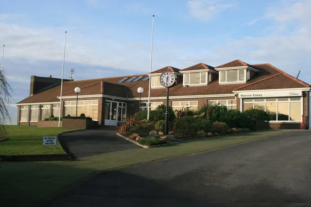
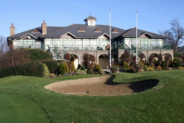
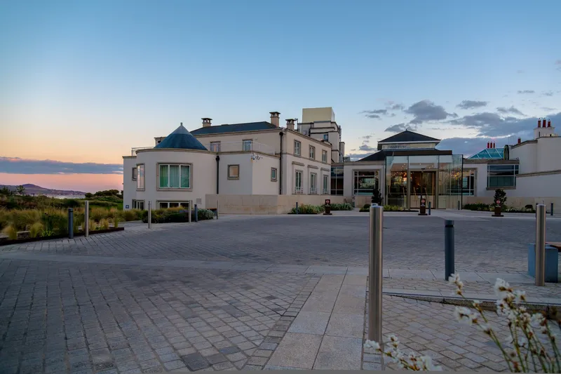
The hotel sits on the Roganstown course.
Check prices & book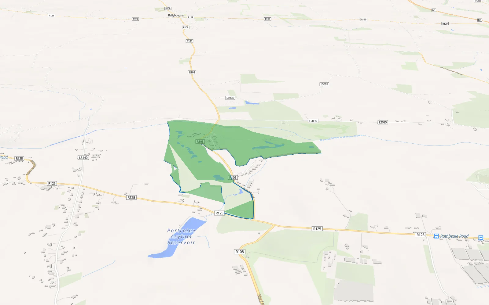
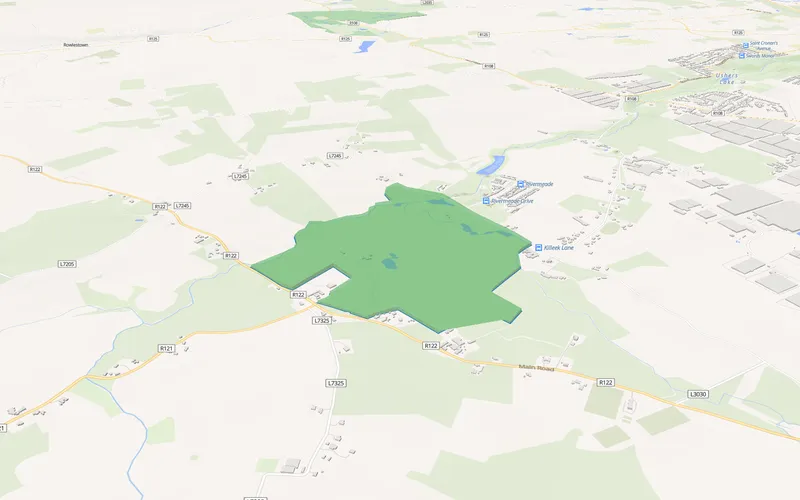
3D view of the course outline. Map data © OpenStreetMap contributors, tiles OpenFreeMap / OpenMapTiles, terrain Mapzen / AWS Open Data
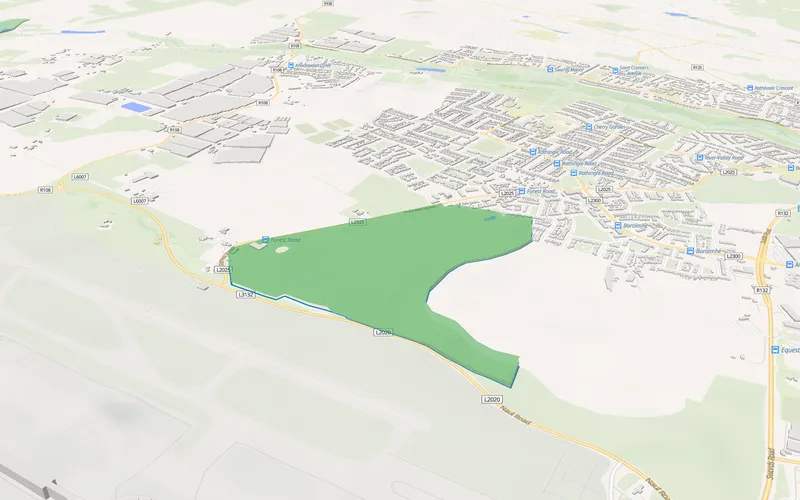
3D view of the course outline. Map data © OpenStreetMap contributors, tiles OpenFreeMap / OpenMapTiles, terrain Mapzen / AWS Open Data
Roganstown Golf & Country Club is a parkland course designed by Christy O'Connor Jnr, set beside the Broadmeadow River near Swords, with an on-site country-house hotel and spa. It sits about a 30-minute drive north of the city centre and roughly 10 minutes from Dublin Airport. Golfers often stay at the hotel or in nearby Swords.
Search hotels near RoganstownClub website
Stay on the course
The hotel sits on the Roganstown course.
Check prices & bookHotels first, then guesthouses and B&Bs, each sorted by straight-line distance from the course. Tap Show on map to fly there in 3D.


Keep playing
Good to know
Roganstown Hotel & Country Club is on the course itself. The nearest other hotel we list is Kettles Country House Hotel, about 1.2 km away in a straight line.
About 14.9 km from the city centre and 6.9 km from Dublin Airport, measured in a straight line from the middle of the course. Allow extra time by road.
The nearest other courses are St Margaret's (4.1 km), Forrest Little (5.1 km), The Island (9.1 km). Every one has its own page of nearby hotels.
3D view of the course outline. Map data © OpenStreetMap contributors, tiles OpenFreeMap / OpenMapTiles, terrain Mapzen / AWS Open Data. Hotel photos from the hotels. Course outline © OpenStreetMap contributors. Distances are straight lines from the middle of the course.